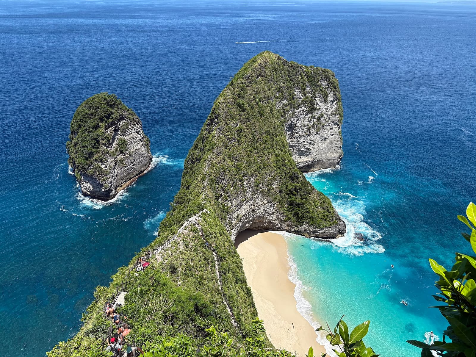
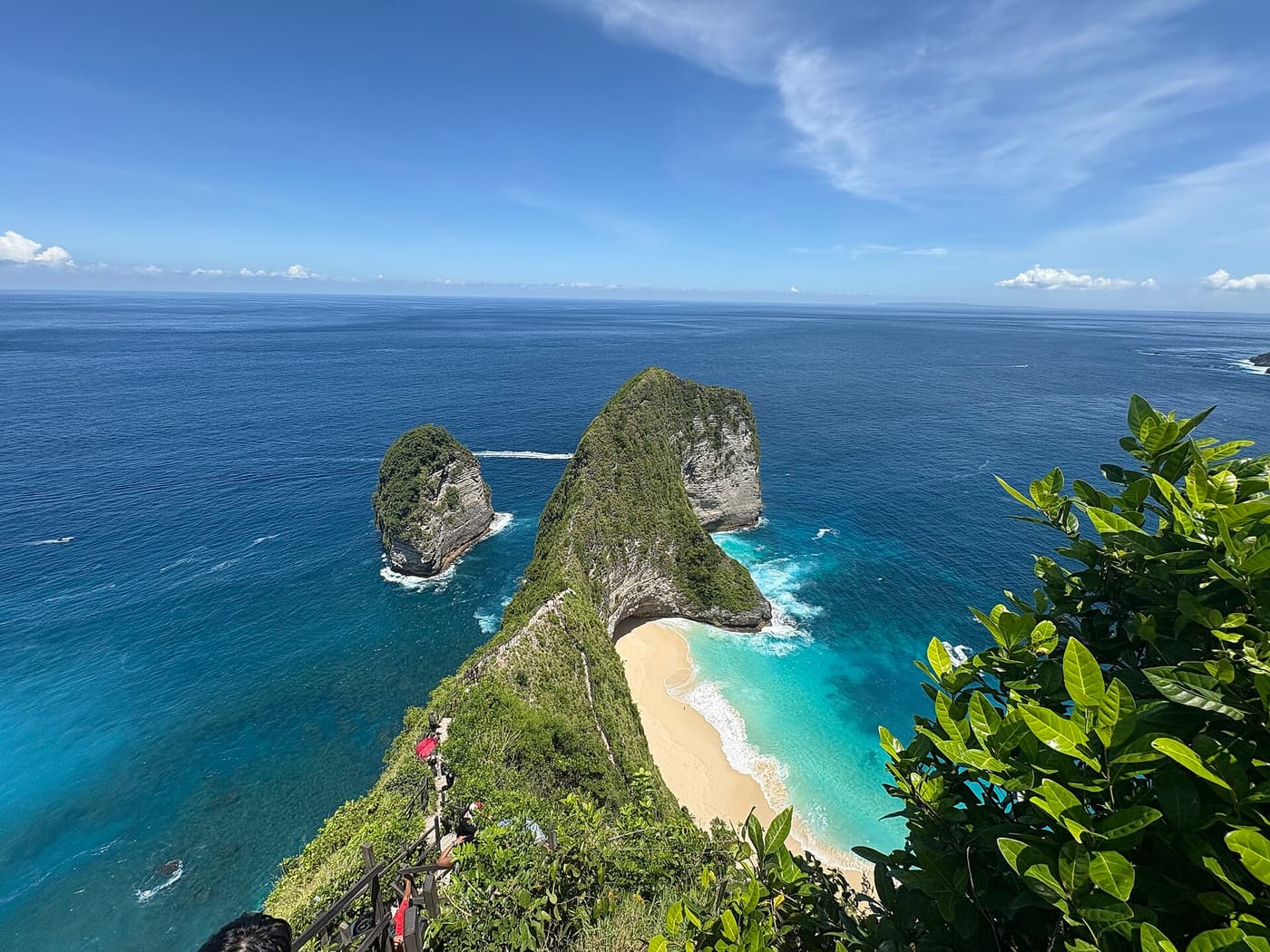
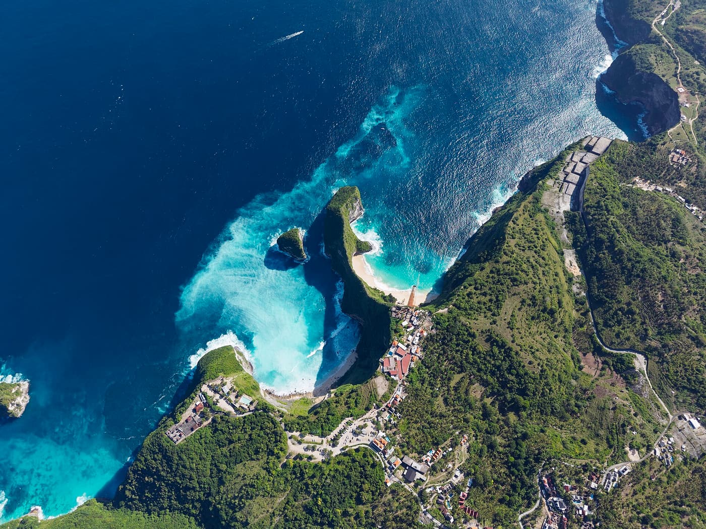
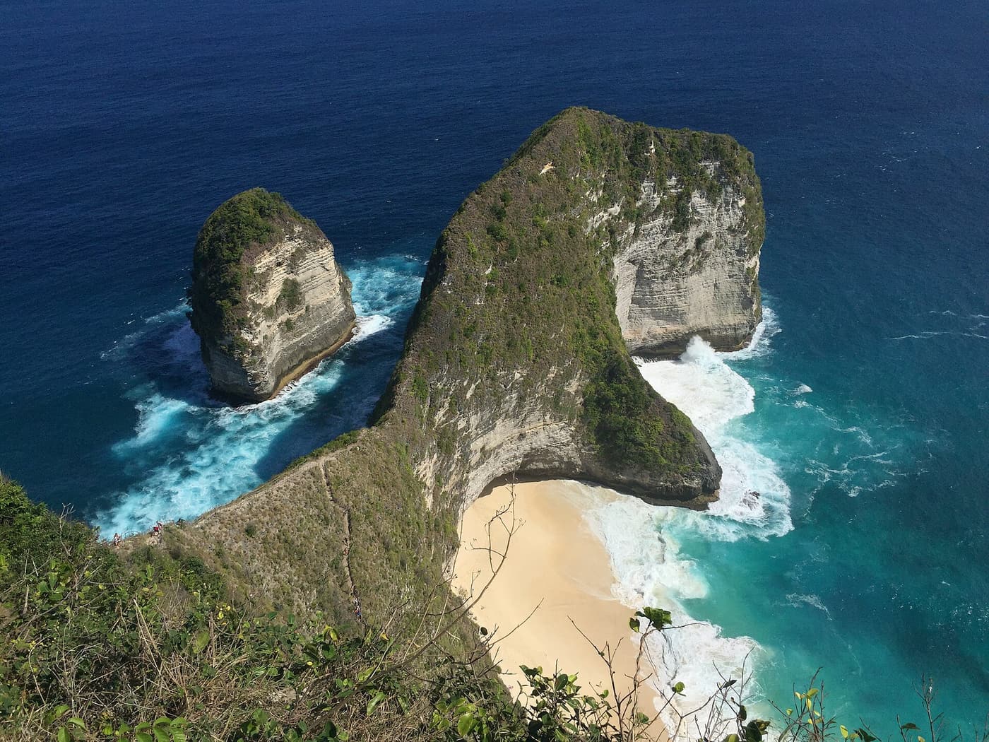
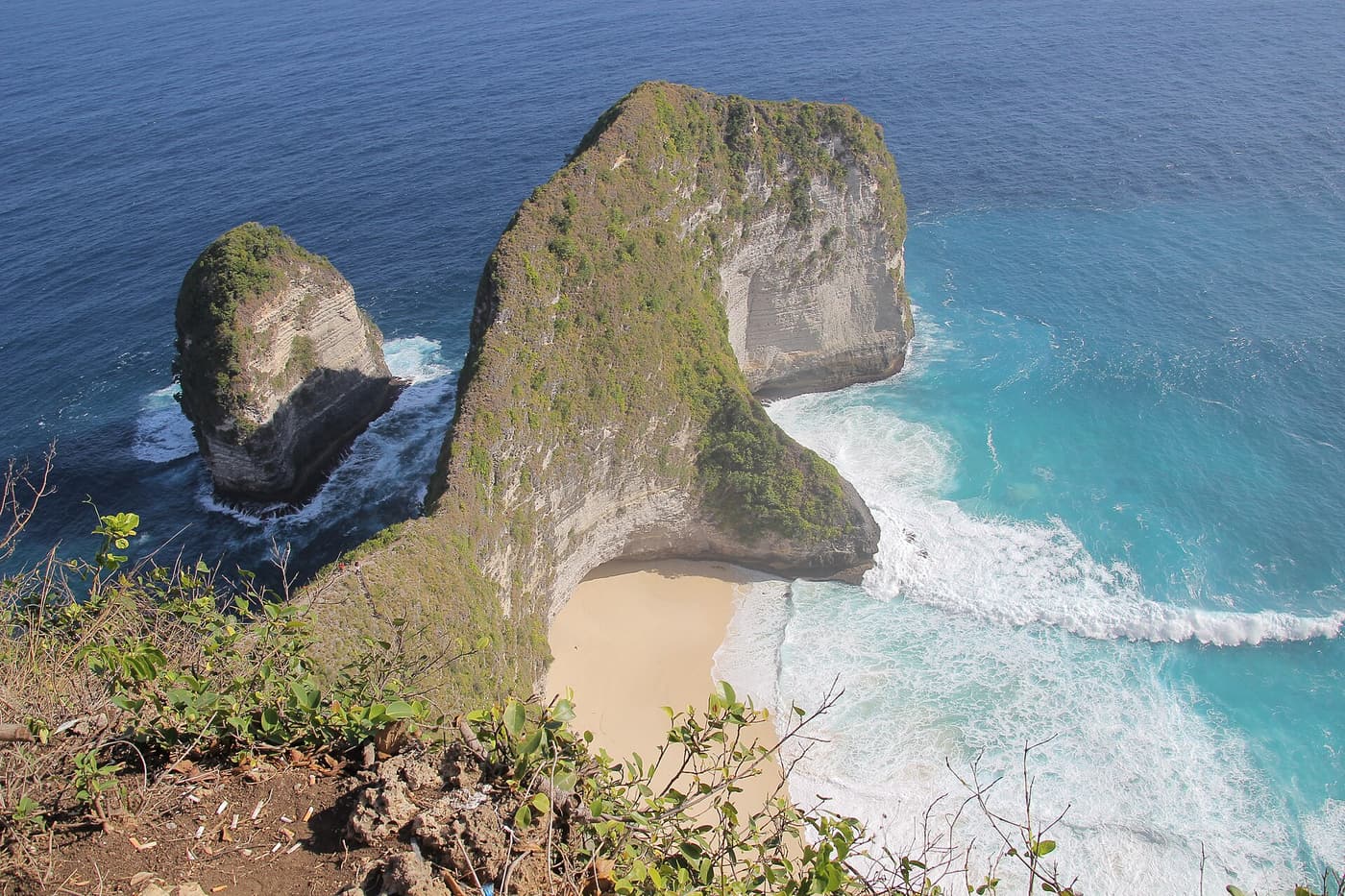
Kelingking Beach is the picture that put Nusa Penida on the map. From the clifftop at Bunga Mekar on the south-west coast, a long, narrow headland covered in green scrub runs out into the sea and ends in a bulbous rocky “head” — the shape that earned it the nickname T-Rex Bay. Far below, a crescent of white sand meets surf of a deep, improbable turquoise.
The view from the top is the highlight of every West tour, and it is reached by a short walk from the car park. Getting down to the beach itself is a different undertaking: a steep, exposed path down the spine of the headland that is hard work and not for everyone. Many visitors are perfectly happy with the view.
What to see and do: Kelingking Beach
Take in the view from the top
The main viewpoint is a few minutes’ walk from the parking area, along a ridge lined with small cafés and photo platforms. Stand at the start of the path and you see the whole headland, the beach and the coast stretching away to the south. The light is best in the morning; by early afternoon the sun is high and the crowds at their thickest.
Walk down to the beach — if you are fit
The path follows the crest of the headland down to the sand: steep rock, dirt, loose gravel and improvised steps, with bamboo or wooden railings in places and big drops on both sides. Fit, sure-footed walkers in proper shoes take something like 30–45 minutes down and longer back up, in strong heat. Do not attempt it in flip-flops, after rain or if you have any doubts. See our safety guide.
Respect the sea
The beach is exposed to the open ocean, with powerful waves and strong currents. Swimming is dangerous; paddling at the edge in calm conditions is as far as most people should go.
Watch for manta rays from above
On calm days, look down into the water off the headland — manta rays are sometimes visible as dark shapes near the surface.
How to get to Kelingking Beach
- Around 30–45 minutes by car from Toyapakeh or Banjar Nyuh harbour, depending on traffic.
- Included in almost every West tour and in snorkel-and-land combinations — see tours.
- A small parking or entrance fee is charged; tours usually include it.
- The last stretch of road is busy with tour cars from late morning.
Insider tips
- Arrive before about 9 am or after about 3 pm for fewer people and softer light.
- If you plan to go down, carry water and leave plenty of time before your boat.
- There are cafés and toilets near the top.
- Plans for a lift or other structures on the cliff have been controversial; follow any closures or new rules on site.
Tours that visit Kelingking Beach
These well-reviewed tours include Kelingking Beach or pair well with it:
Day trip from €29 Bali/Nusa Penida: East & West Highlights Full-Day Tour
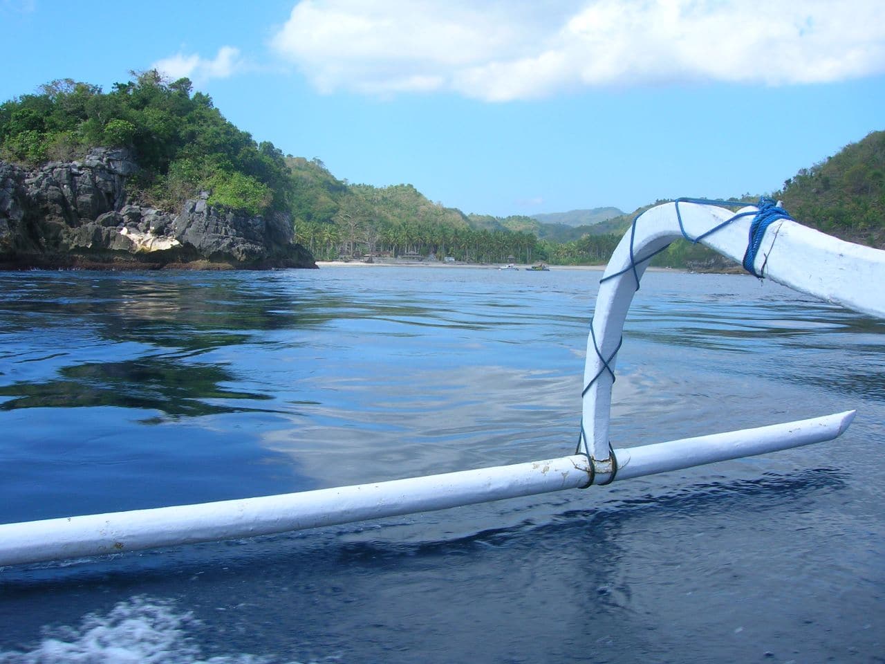
The island’s most-reviewed day tour, with options from Bali (pick-up and fast boat) or from Nusa Penida itself, and optional add-ons such as the Molenteng tree house.
- Choose West, East or both coasts
- Kelingking, Broken Beach and Angel’s Billabong
- Diamond Beach and Atuh on the East option
 Snorkel + land from €16
Nusa Penida Snorkeling 3 Spots with GoPro & West Land Tour
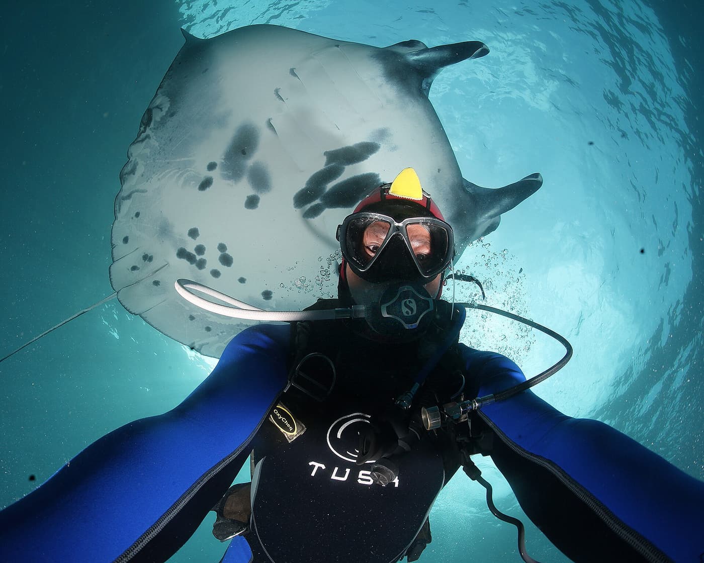
A very popular combination of a snorkel boat in the morning and a West-coast land tour, with a boat-only option for those who just want to swim.
- Three snorkel spots with the chance of manta rays
- GoPro photos
- Optional Kelingking, Broken Beach and Angel’s Billabong
 Private day trip from €89
Bali: Nusa Penida Private Snorkeling, Manta Rays & Land Tour
One of the highest-rated trips to the island: your own boat, manta snorkelling, a relaxed lunch and the Kelingking viewpoint.
- Exclusive boat from Sanur
- Snorkel at Manta Bay, Manta Point or Secret Bay
- Lunch with an infinity pool, then Kelingking
 Day trip from €25
Bali: Full-Day Nusa Penida Highlights Tour with Transfer
A long-running day trip to the West-coast viewpoints, with transfers and free time for photos at each stop.
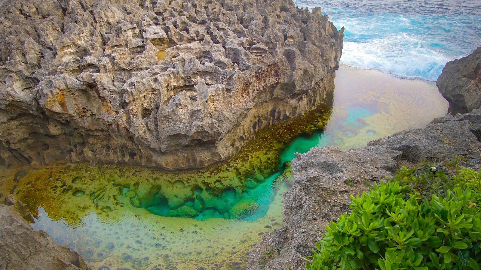
- Kelingking Beach and Angel’s Billabong
- Local driver or guide
- Itinerary adjusted to traffic and sea